Several areas in Arkansas are likely to see severe storms starting Friday night, and flash flood watches have been posted for most of the state, the National Weather Service in Little Rock said.
John Robinson, the service's warning coordination meteorologist, said storms should start in the middle of the night in south and central Arkansas and could bring damaging winds, large hail and "an isolated tornado or two."
Robinson said that tornadoes are not uncommon in December.
"Based on 30 years' worth of weather data, only May, April, March, November and January are more likely to have tornadoes," he said.
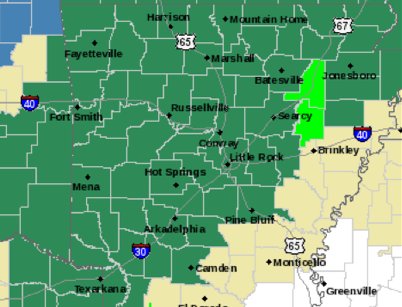
Chances for severe weather are greater for Saturday afternoon and evening for areas southeast of a line from De Queen to Batesville to Corning, Robinson said. Damaging winds will present the main threat, but tornadoes are possible. The risk of severe weather is greatest in east-central and southeast Arkansas near the Mississippi River.
According to Robinson, the likelihood of severe weather will diminish as a cold front expected to enter Arkansas from the northwest on Friday will leave the state Saturday evening.
Rain will drop up between 1 1/2 inches to 3 inches, while some areas — from Mena to Batesville and toward Pocahontas and Corning — may see 4 to 5 inches of rainfall, he said.
The northwest corner of Arkansas, primarily Benton County, may receive freezing rain Friday night, but it should convert into rain Saturday as temperatures rise, he said. Light snow or flurries may occur starting late Saturday night or Sunday morning. Other areas in north Arkansas may see flurries starting Sunday evening, Robinson added.