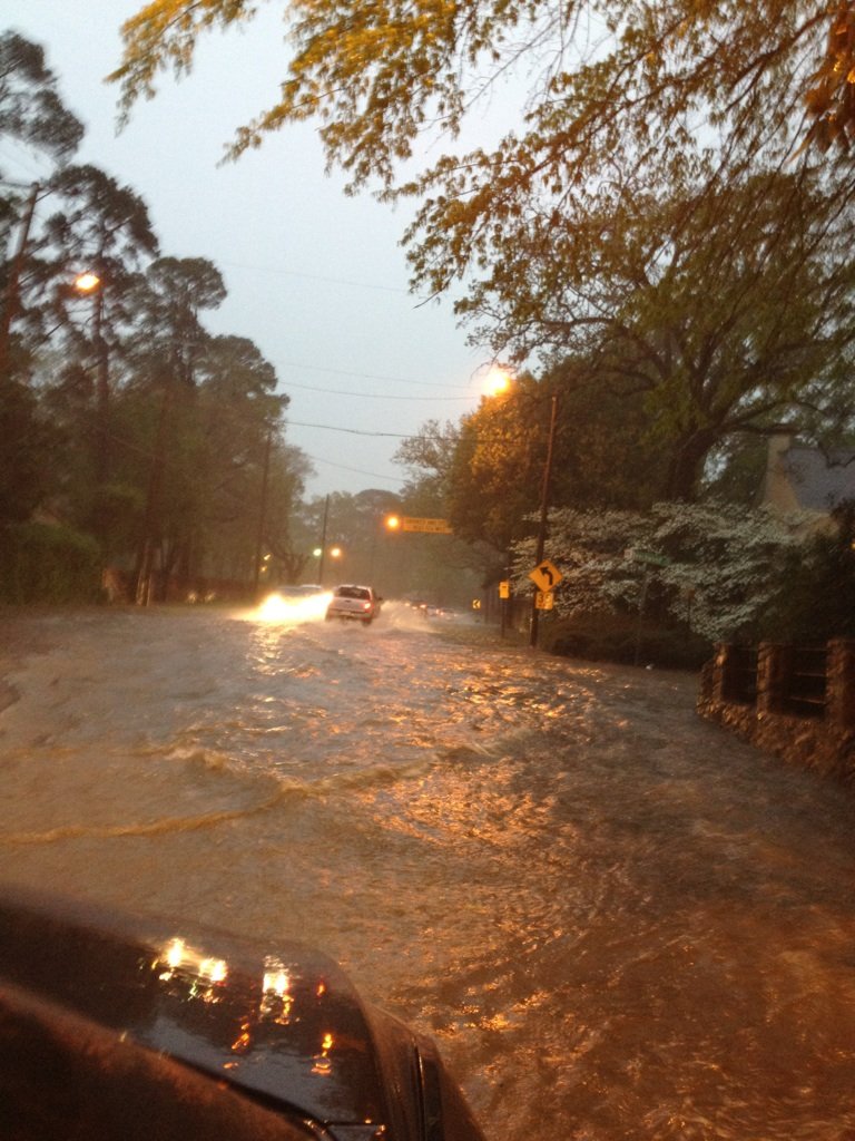
A flash flood warning is in effect for parts of Arkansas, including Little Rock, as heavy rain moves through the region.
Marty Trexler, senior meteorologist with the National Weather Service in Little Rock, said the flash flooding left some motorists stranded.
"We've had some reports of some car rescues on Interstate 430 and Shackleford Road," he said.
Parking lots and other large areas covered in concrete were having the most flooding problems, Trexler said.
"These thunderstorms are producing a lot of rain," he said.
At 7:13 p.m. Sunday, the National Weather Service issued a flash flood warning for northeastern Garland, northeastern Hot Spring, Pulaski, Saline and south central Faulkner counties, according to the National Weather Service's website.
John Robinson, warning coordination meteorologist with the National Weather Service in Little Rock, said Sunday an increase in thunderstorms would occur throughout the day.
Robinson said a few severe thunderstorm warnings are expected.
The main threat will be large hail and damaging winds, but Robinson said an isolated tornado or two cannot be ruled out.
Sunday evening, a band of thunderstorms should enter northwest Arkansas, and should sweep southeastward across the state, exiting after midnight.
“Damaging winds will be the primary threat, but there could be some large hail and an isolated tornado or two,” Robinson said in a statement.
Some thunderstorms will continue in the state Monday morning, but chances for severe weather should be located off to the southeast part of the state.
Robinson said Monday afternoon and evening, a few wet snowflakes could fall in the higher elevations of northwest Arkansas.