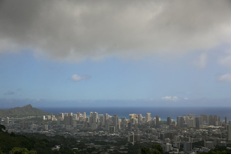
HONOLULU — The first storm in a one-two punch heading for Hawaii was rapidly weakening on its approach to the state, while a second system close behind it strengthened and was on track to pass north of the islands.
The National Weather Service downgraded Iselle to a tropical storm about 50 miles before it was expected to make landfall early Friday in the southern part of Hawaii's Big Island. By 7 a.m. CST Friday, the storm was swirling about 10 miles from the Kau coastline.
Wind and rain from the system still had enough force to knock down trees, cause power failures and block roads on the Big Island. No deaths or major injuries were reported. The storm is expected to inundate Hawaii with 5 to 8 inches of rain, with up to a foot of rain in some spots.
Maui County spokesman Ryan Piros said outside it was raining and the wind was cranking, but in the overnight hours he was listening to a largely quiet police scanner.
Iselle was classified as a tropical storm at 4 a.m. CST. By early Friday morning, its winds had slowed to 60 mph, well below the 74 mph threshold for a hurricane.
The storm was weakening because of several factors, including wind shear chopping at the system and the Big Island's terrain above the water, said Chris Brenchley, meteorologist with the National Weather Service in Honolulu.
Read Saturday’s Arkansas Democrat-Gazette for more on this story.
