The National Weather Service says snowy conditions aren't expected to thaw significantly until Sunday, when temperatures surge into the 40s and 50s across the state.
But even that is only a brief respite: Another round of icy precipitation similar to Friday's snowstorm is expected to move in Monday. Winter storm watches are set to go into effect then for a large swath of the state, including Little Rock.
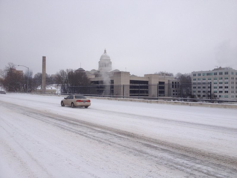
John Lewis, a senior forecaster with the weather service in Little Rock, said some melting may occur Saturday but it's not expected to have much of an impact as temperatures struggle to get to or above freezing.
"It will be a slow thaw, let's put it that way," Lewis said. "We might make freezing today."
More melting will come Sunday, when temperatures in central Arkansas reach the 40s and the south hits the 50s, Lewis said. But that weather won't last long.
"Just as spring starts to nudge into the state, winter will slam the door Monday," he said.
An area of arctic high pressure will move in then, bringing with it the potential for 1 to 4 inches of snow in northern and central Arkansas, Lewis said. It's expected to start late morning in western Arkansas and move east through the afternoon and evening.
The winter storm watches are set for Monday afternoon through Monday night for about 30 counties in central Arkansas, including Pulaski and points north and south of it.