CHICAGO — Temperatures not seen in years are likely to set records in the coming days across the Midwest, Northeast and South, creating dangerous travel conditions and prompting church and school closures.
A "polar vortex" will affect more than half of the continental U.S. starting Sunday and into Monday and Tuesday, with wind chill warnings stretching from Montana to Alabama. The vortex is a counterclockwise-rotating pool of cold, dense air, and is behind the startling forecast: 25 below zero in Fargo, N.D., minus 31 in International Falls, Minn., and 15 below in Indianapolis and Chicago.
The bitterly cold temperatures already pushed into northern states Sunday morning. The National Weather Service reported a temperature of 9 below zero in Bismarck, N.D., and negative 21 at Duluth, Minn. At the height of the cold, wind chills may reach 50, 60 or even 70 below zero.
"It's just a dangerous cold," National Weather Service meteorologist Butch Dye in Missouri said Sunday morning.
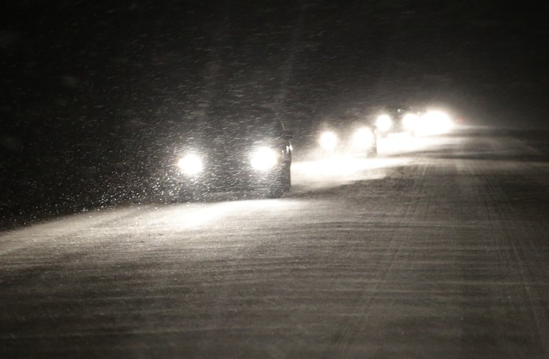
Snow preceded the polar air and was expected to fall throughout much of Sunday from Michigan to Kentucky. Forecasts called for up to a foot in eastern Missouri and parts of central Illinois, several inches in western Tennessee and 1 to 3 inches in Kentucky.