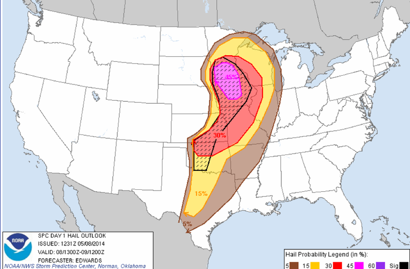
Thunderstorms are forecast to run west to east across Arkansas on Thursday, hitting the areas recovering from April 27 storms this evening.
The storms are expected to enter the western part of the state by midday and head east, reaching central Arkansas by late afternoon and east Arkansas in the evening, and continue in the east overnight, National Weather Service meteorologist John Robinson said in a statement.
"A few of the storms will probably be severe," Robinson said. "Damaging winds will be a greater threat than large hail."
Chances for tornadoes, however, are "rather low," he added.
The tornado-recovery areas — Faulkner, White and western Pulaski counties — will have the greatest chances of thunderstorms from 4-10 p.m., Robinson said.
Scattered thunderstorms could redevelop Friday afternoon and evening, he said, adding that a few storms are likely Saturday and Sunday, too. Rain totals from Thursday through the weekend should average from 3/4 inches to 2 inches in most places, Robinson said.
