A cold front will usher in the possibility of severe weather, including damaging winds and isolated tornadoes, across much of the state, the National Weather Service said Thursday.
The weather service said in a statement that the front will arrive from the northwest later in the day, spurring widespread showers and thunderstorms as it moves in and then forms into a squall line.
"This line of storms will be capable of producing damaging straight line winds across nearly all of Arkansas," the agency said. "Hail and an isolated tornado will also be possible."
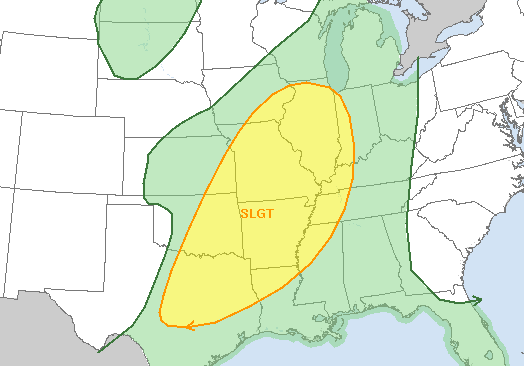
The Storm Prediction Center says there's about a 5 percent risk for a tornado in roughly the northwestern two-thirds of the state. There's a 30 percent chance for damaging winds across virtually the entire state.
John Robinson, senior warning coordination meteorologist with the weather service in North Little Rock, said the squall line will enter the state in mid-to-late afternoon.
"This line of storms should make it to central parts of the state early this evening and to eastern Arkansas later this evening," he said in an email, noting wind speed could top 70 mph. "The threat of severe weather should move east of the Mississippi River around midnight or soon thereafter."
Rainfall is expected to largely range from a half inch to 1.5 inches.