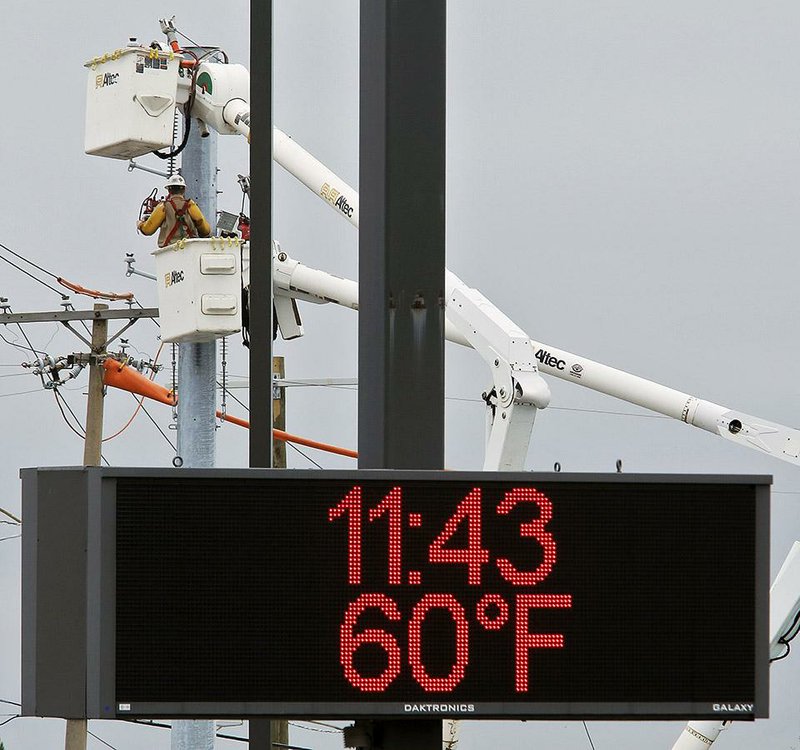
Two days after North Little Rock recorded a high of 92, the temperature plunged more than 30 degrees, and on Friday, the city set a record for the lowest high mark of the day.
The National Weather Service in North Little Rock reported that the 65-degree reading Friday was the lowest high for the day in the city, breaking the 73-degree mark set in 1995 and 1998.
The cool weather is the result of a front pushing across the state from the northern Plains, said weather service meteorologist Julie Lesko of North Little Rock. The front stalled over north-central Louisiana, bringing sporadic rain to Arkansas on Thursday evening and Friday.
Although no other records were broken Friday, much of the state saw a cool climate. Walnut Ridge reported a low of 52 degrees Friday, Siloam Springs saw 55 degrees, and Fayetteville recorded 57 degrees. Jonesboro reported a 63-degree mark Friday evening, and Mena saw 68 degrees.
Rain and cloud cover kept temperatures down, Lesko said. Some cities may see chilly conditions early this morning, she said.
A second surge of cold air from the north should push the stalled front away today, and skies will begin clearing this afternoon.
The cold snap will be short-lived, however. Lesko said temperatures are expected to climb into the low to mid-80s by early next week. But chances of seeing extremely warm days are dwindling.
"We're getting into fall," Lesko said. "The window of opportunity for those 90-degree days is closing."
State Desk on 09/13/2014