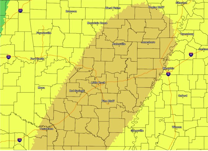
Severe thunderstorms could hit the entire state during the late afternoon and evening Sunday, according to the National Weather Service in North Little Rock.
Those storms will likely produce damaging winds and hail, but the threat for tornadoes is "low at this point," National Weather Service Senior Meteorologist Marty Trexler said.
Moist and "unstable" conditions will develop this weekend ahead of a cold front that produced snow in Utah and Colorado this week, The cold front moving toward Arkansas could produce showers and thunderstorms Friday and Saturday, but Trexler said the only real chance for severe weather would be Sunday.
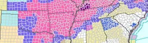
Most of the state falls into the National Weather Service's "enhanced" risk category, which means there could be a chance for "a few tornadoes," wind damage and damaging hail.
The storm system will move rapidly through the state to the east and should be gone by midnight Sunday or early Monday morning, Trexler said.
Monday and Tuesday will bring mild temperatures and no rain to the state, Trexler said. Temperatures those days will start out in the 50s and rise into the 70s later in the day.
Right now, there is a chance for rain next Wednesday and a "slight chance" for severe weather Thursday, Trexler said.