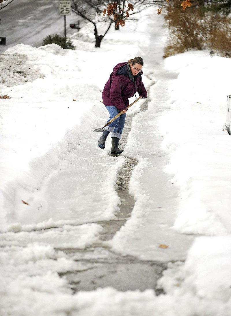
BOSTON -- A winter storm sweeping across the U.S. grounded flights from Texas to the Atlantic and threatened New York with its third snowfall in four days.
RELATED ARTICLE
http://www.arkansas…">State covered in snow, ice; temperatures dive
Rain in New York on Wednesday was expected to change to snow overnight, with 3-6 inches possible through today, said Faye Barthold, a National Weather Service meteorologist in Upton, N.Y. The heaviest accumulations were forecast for Staten Island, Queens and Brooklyn, with less falling north and northwest of the city.
"There will be more snow the farther south you are," Barthold said. "Snow should continue into Thursday afternoon, and after that it should taper off."
Winter-storm warnings and weather advisories stretched from New Mexico to New York, the weather service said. Across the U.S., 1,202 flights were canceled as of Wednesday afternoon, with Dallas/Fort Worth International Airport the hardest-hit, according to FlightAware, a Houston-based tracking service.
Dallas was expected to get 1-3 inches of sleet and snow overnight, said Steven LaVoie, a meteorologist with Hometown Forecast Services Inc. in Nashua, N.H. Early Wednesday, heavy fog cut visibility in the city to a quarter-mile, which contributed to air-travel problems, said Tom Kines, a meteorologist with AccuWeather Inc. in State College, Pa.
Most of the storm's effects will be felt farther north.
"The bull's-eye, so to speak, is probably along the Ohio River," Kines said.
That will extend east and may reach the northern suburbs of Washington, D.C., dropping more than 6 inches of snow, he said.
Boston, which has received 105.7 inches this season, will be spared a direct hit this time.
The city's snowiest winter was 1995-96, when 107.6 inches fell.
"It doesn't look like it is going to be anything for them," LaVoie said.
While a series of snowstorms has swept across the eastern U.S. since January, the pattern may be breaking up, Kines said.
In the first round of this storm, rain fell in many places instead of snow.
"We haven't seen that for a while," Kines said.
Temperatures will dip after today, but there seems to be a break ahead in the continuous run of storms, Kines said.
Temperatures may rise 3 to 5 degrees above normal across the eastern U.S. from March 14-18, said Matt Rogers, president of the Commodity Weather Group LLC in Bethesda, Md.
A Section on 03/05/2015