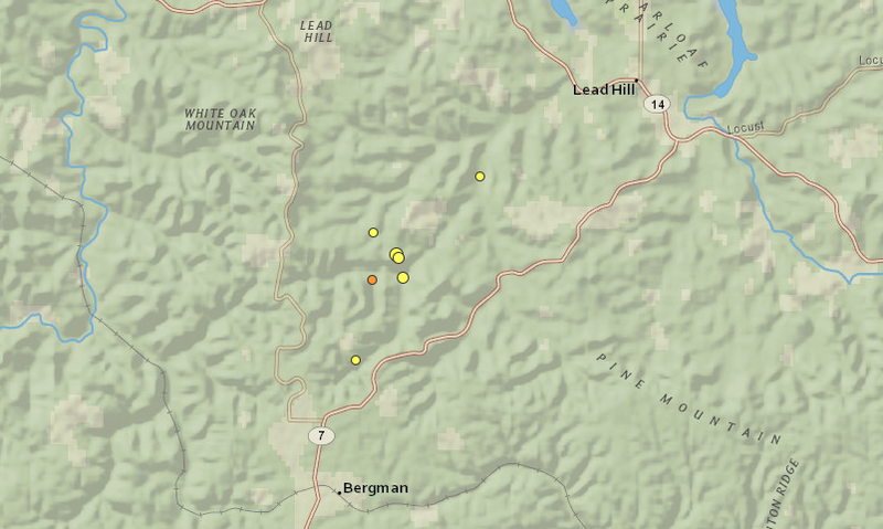
Seven earthquakes in total shook portions of northern Arkansas on Sunday, according to the latest U.S. Geological Survey data.
The largest tremor, a 3.6-magnitude quake centered about 5 miles north of Bergman in Boone County, struck around 7:40 a.m.
About an hour later, a quake registering a 2.4 magnitude rattled the same area. A third was recorded around 2:25 p.m. with a magnitude of 2.3 about 5 miles west of Lead Hill.
Four other tremors, each within magnitude ranging between 1.3 and 1.9, were also reported Sunday in northern Arkansas, officials said.
Those four were recorded between 7:51 a.m. and 4:31 p.m., according to an earthquake map from the USGS.
In the past 30 days, 185 quakes with a magnitude of 2.5 or higher have been recorded in the U.S. — only one of which shook Arkansas.
The tremors were also the first earthquakes to happen in Arkansas since a 2.4-magnitude quake May 14 near Marshall.
Bergman, a town of about 445 residents, is nearly 10 miles northeast of Harrison.