Forecasters said the weather front that pushed through Arkansas on Saturday, dropping large amounts of rain in southern counties, and sleet and snow in the north, will be gone by sunrise today, but a cold front on its heels likely will leave ice on some roadways.
Flooding in southwest Arkansas closed one state highway Saturday, and some roadways in the state's colder northeast were slushy throughout the day.
But all of the precipitation should be over today, said meteorologist Joe Goudsward at the National Weather Service's North Little Rock office.
Multiple stretches of U.S. 65, Arkansas 25 and Arkansas 7 in the north-central portion of the state were partly covered in snow or were slushy late Saturday, the Arkansas Department of Transportation's iDrive roadway tracker showed.
Also, ice was building up in some areas of North Little Rock late Saturday, weather service meteorologist Willie Gilmore said, but the highest accumulations of Saturday's wintry precipitation were around Newport and Searcy, where 2-4 inches of snow fell.
Parts of Northwest Arkansas saw 1-2 inches of snow Saturday, Gilmore said. That area received less freezing rain than the rest of the state, he said.
Temperatures in central Arkansas are expected to rise into the low 40s about midday today, but Gilmore said the lows tonight and on Monday are forecast to be in the low 20s. That means standing water and any melting snow or ice will refreeze overnight, leaving roads and bridges slick. Gilmore said the temperatures Monday night could drop into the high teens in some places.
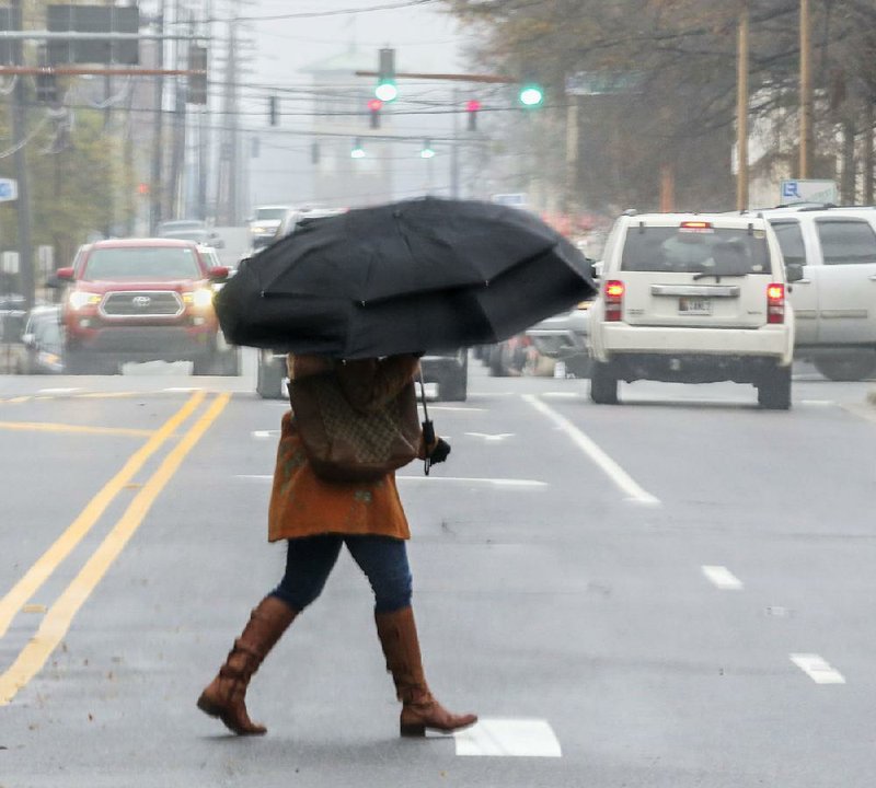
Little Rock received about 1½ inches of rain Saturday, Gilmore said. Temperatures stayed in the 30s for most of the day.
As for icy roads, Gilmore said "the biggest ice problem" with be this morning. "Before the sun rises and has a chance to warm some of that up, there's going to be some ice. Those will be the worst travel conditions."
In the state's south, where forecasters had predicted the heaviest amounts of precipitation from this weekend's weather front, Gilmore said about 4½ inches of rain had fallen by late Saturday. He said no areas had reported flash flooding, however.
"It wasn't a quick, heavy event, which could have caused some flooding," Gilmore said. "But there's going to be a lot of standing water, particularly in the south."
The iDrive roadway tracker showed that all lanes of Arkansas 134 in Miller County just south of Texarkana were closed because of high water Saturday evening. The closed portion of the highway extended for 1 mile near Fouke.
A flood warning was in effect late Saturday for a line of cities stretching from Arkadelphia to Camden and to just north of El Dorado, according to the National Weather Service's website. Gilmore said there will be a lot of standing water in those areas, particularly near El Dorado, that could freeze overnight.
He said central Arkansas would likely see snow flurries in the wee hours of this morning, but accumulations would probably no more than an inch.
"There will be some lingering flurries, but whatever will happen in the next several hours, people will wake up to see," Gilmore said Saturday night. "Luckily things are starting to quiet down," he said.
Goudsward said drivers should "be aware in the northern part of the state. Road conditions aren't showing anything awful, but side roads are probably going to get slick."
"Like always, be careful on bridges and overpasses. There's cold air under and over them, and they freeze up faster," he said.
Dozens of volunteer observers across the state were to submit weather reports in the 5 a.m.-8 a.m. time frame today, which Gilmore said will give officials at the National Weather Service a better idea of how this winter weather played out in much of Arkansas.
Metro on 12/09/2018