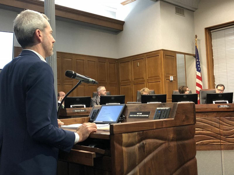
FAYETTEVILLE -- City officials will take a more measured approach when considering transportation projects with a tool designed by hired consultants and a report based on nearly two years of research and feedback.
Council members were introduced Tuesday to a long-awaited mobility plan update from consulting firm Nelson/Nygaard. The council hired the firm for $585,000 in 2016 to come up with the plan, and set aside $95,000 of that for a second study dealing exclusively with parking downtown.
Council action
The council also approved during Tuesday’s meeting:
• Porter Winston and Robert Sharp being appointed to the Planning Commission, replacing Ryan Noble and Alli Quinlan. Tom Brown and Matt Hoffman were reappointed.
• Rezoning about 4 ½ acres northeast of Crossover Road and Township Street from a residential district to one which allows low-intensity commercial uses, such as offices or shops.
• An amendment to city code enabling applicants for private club alcohol permits to submit information electronically. A state law enacted last year requires a City Council to approve an alcohol permit for a private club before submission to the state.
• An amendment to city code requiring a rezoning applicant to provide more information to the city’s Planning Department when making a request. City code previously required a description of the property, the type of zoning requested and a statement explaining why the proposed zoning wouldn’t conflict with the surrounding land uses. Now applicants have to also submit a signed certificate of mailing notifying surrounding property owners and more clearly address compatibility with surrounding land.
Source: Staff Report
The mobility study takes a look at possible connections for roads, sidewalks and trails. It also sets a series of priorities and metrics for city officials to consider for new projects. Recommendations are based on traffic data collected in the city and several rounds of public feedback.
Jeffrey Tumlin with Nelson/Nygaard gave the council a brief overview of the 170-page plan Tuesday. About 500 respondents contributed thousands of comments online, in addition to in-person workshops, Tumlin said.
A majority of respondents requested the city fill in gaps in the transportation network. Tumlin said adding about 1 ¼ miles of sidewalk would connect neighborhoods throughout the city. Also, a quarter of the city's 44,000 workers travel fewer than 3 miles to get to work.
The report states 86 percent of the city's residents travel primarily by car, 6 percent walk, 2 percent ride a bicycle, 1 percent use public transportation, less than 1 percent use a taxi or motorcycle and 4 percent work from home.
About 470 miles of road take up about 10 percent of the city's land, according to the report.
The report also reconfigures the way city officials classify streets and analyzes seven major corridors with recommended projects.
A spreadsheet included with the plan allows city officials to weigh the costs and benefits of a transportation project in order to better prioritize them. Council members got an initial look at the tool during a workshop Monday.
In each column of the spreadsheet are different metrics for evaluating a project, broken down into five categories -- health and safety; economy; equity for children, the elderly and disabled; and deliverability or funding. The horizontal rows are various projects planned in the coming years.
Planning staff would give a project a certain score on each criteria, and council members could weight the importance of each category to come up with an aggregate score. A final version of the spreadsheet isn't yet finished.
Council Member John La Tour said he didn't want to adopt a program forcing people to behave in a certain way. Tumlin said it was clear from resident feedback nobody wants to be forced out of their car, but there's a significant interest in expanding access to other modes of transportation, such a bicycling, walking and public transit.
The consultants' work has finished but city officials will continue to work on the plan. Mayor Lioneld Jordan said more public feedback will be sought.
City Engineer Chris Brown said the next step will be to present an implementation plan and schedule to the council. Specific tasks and measures will have to gain council approval.
The council also voted 7-0 to define a roadway as from farthest curb to farthest curb. Justin Tennant wasn't in attendance.
An ordinance passed last year prohibited standing or walking on a major road or highway. City Attorney Kit Williams said both measures are meant to address safety, not target panhandlers. Defining the term "roadway" in city code clarifies the previous ordinance, he said.
The council also changed the potential fine threshold for a violation from $500 to $25.
The measure will take effect 31 days after its passage. Police Chief Greg Tabor said officers will exercise an additional 30-day grace period before any enforcement.
The city is looking into putting up street signs with information on how to help others, as well as resources for low-income residents.
NW News on 03/21/2018

