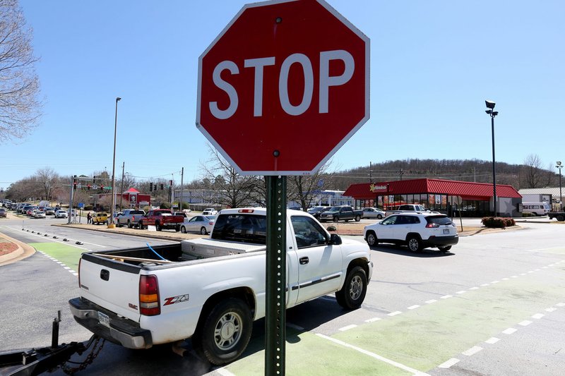
FAYETTEVILLE -- A plan rethinking the main road running through Fayetteville would help traffic flow, give bicycles and pedestrians a safe way to get around, diversify land uses and help make everything look nicer, city officials say.
The first conceptual drawings of the 71B Corridor Plan were posted to the city's website Thursday. They contain two sets of maps -- an illustrative plan with potential areas for redevelopment, greenery and road features to slow traffic; and a transportation plan showing possible street, bicycle and pedestrian connections off and around the highway.
U.S. 71B has multiple names, the longest stretch being College Avenue. The two sets of maps divide the highway into three parts. The illustrative plan covers U.S. 71B from the intersection of School Avenue and Cato Springs Road to Rock Street. The middle part is between North and Township streets. The third part is from Township Street north to Millsap Road.
The set of transportation maps is also broken into three parts. It focuses on College Avenue from North to Township streets, from Township to Millsap Road, and from Millsap to Clear Creek Trail near Lake Fayetteville.
Public workshops, surveys, steering committee meetings and input from planning commissioners and City Council members shaped the plan over nine months. The consultant RDG Planning+Design of Omaha, Neb., analyzed the corridor to design the initial concepts, said Garner Stoll, the city's development services director.
"They basically examined every single parcel and what's on the ground today -- the buildings, the streets, the sidewalks, the connections," he said. "It's very much from the bottom up."
The priority is to make the corridor safer and easier to navigate through a variety of methods, Stoll said. For instance, strategically placing medians discourages left turns. Building parallel roads on either side provides another way to go north and south, which helps decongest the highway. There would be fewer curb cuts. A trail network would span the length of the highway on both sides for pedestrians and bicycles.
"The status quo is not acceptable," Stoll said. "Our goal is zero tolerance for accidents and fatalities and major injuries."
The city's April 9 bond referendum includes $10 million for work recommended in the 71B Corridor Plan. The entire referendum to continue the city's 1 percent sales tax would pay for more than $226 million in projects, including $70 million for transportation work.
Possible bond projects related to the U.S. 71B plan include parallel north-south connections on the north side of town, placing medians between North and Township streets, rebuilding sidewalks and adding bus shelters and transit lanes.
City Engineer Chris Brown said the consultants considered what's happening now and what's planned along the corridor. Department heads coordinated with the consultants throughout development of the plan, he said.
"They were very sensitive to current conditions and what is do-able," Brown said. "I think we have a very implementable plan."
The south part of the city would have continuous sidewalks, protected bike lanes, two-way turn lanes and medians on South School Avenue and Archibald Yell Boulevard.
Various spots would have a potential mix of residential and commercial uses near Walker Park and the Mill District at Martin Luther King Jr. Boulevard. A preliminary design for an overhauled intersection at South College, Rock Street and Archibald Yell also is included in the illustrative plan.
North to Township streets would have connections on the west side of College Avenue to Green Acres Road, which runs parallel to the highway. Shiley Drive would extend north to the intersection with Sunbridge Drive. The plan also calls for reconfiguring the parking lot at Evelyn Hills Shopping Center.
The section from Township Street to Millsap Road includes a roundabout in the Fiesta Square Shopping Center parking lot and a proposed connection from Appleby Road to Plainview Avenue. The connection would continue north through Mall Avenue.
A deal is in the works for the city to take ownership of U.S. 71B from the Arkansas Department of Transportation, which would give the city leeway to do work along the corridor without state permission.
Much of what is recommended depends on private developers sharing some of the cost. More detailed land-use designations, along with cost estimates, will come in later stages. At that point, the City Council could use the plan to guide rezoning decisions, Stoll said. A final plan is scheduled to be finished by June.
The cherished buildings and businesses along the corridor are taken into consideration, he said.
"They're important to Fayetteville's history, and the proposal is to take advantage of that and show how it can be redeveloped over time and add value, not wipe Herman's out," Stoll said.
Metro on 03/19/2019