LITTLE ROCK — The June 2010 flood that killed 20 people camping along the Little Missouri River was an extreme localized weather event that has less than a 1 percent chance of occurring during any given year, according to a report released Wednesday by the U.S. Geological Survey.
The most recent comparable flood at the Albert Pike Recreation Area happened May 13, 1968, after nearly two weeks of rain, the report states.
The June 11, 2010, flood occurred during what would be considered a dry spell for the area.
In other words, the second — and ultimately deadly — flood was created by an unusual chain of events that coalesced in an extremely short period of time.
“This was a rare flood in the sense that it doesn’t happen every year, and we know it probably doesn’t happen every 10 years,” explained U.S. Geological Survey hydrologist Robert Holmes, a co-author of the report.
The most tragic element proved to be the timing.
Floodwaters descended on the recreation area’s Loop D just before dawn, as campers slept inside their RVs, oblivious to the rapidly rising waters.
Depths in Loop D ranged from 5 feet to 7 feet, Holmes said.
And the velocity of the water — 7.5 mph — made the situation even more dire.
“If you’re out in the water trying to stand up — that’s some fast water,” Holmes said. “It definitely would sweep you away.” Eight who died that day were children.
THE WEATHER’S ROLE
In the southern Ouachita Mountains, a humid subtropical climate is the norm. Average annual precipitation is about 58 inches, with 48 percent falling during April through September, the report explains. The heaviest rainfall ever recorded at the nearby Mount Ida climate station was 9.95 inches on Dec. 3, 1982.
On June 10, 2010, the National Weather Service went on high alert after a storm system in Texas dumped more than 6.5 inches of rain in the southeastern parts of that state.
Campers along Texas rivers were evacuated. Still, one person died.
At 5 p.m., those thunderstorms moved into Arkansas. The National Weather Service already had issued flash-flood watches. Those watches would turn into warnings as a storm stalled and intensified over the Albert Pike Recreation Area, nestled within the Ouachita National Forest.
Between 1 a.m. and 5:15 a.m., more than 5 inches of rain drenched the Albert Pike Recreation Area.
National Weather Service data for a 24-hour period encompassing June 10-11 shows that Albert Pike ultimately received more than 7.5 inches of rainfall.
By comparison, nearby Mena saw only 3.06 inches during that same period, which further proves that what happened at the campground was an extraordinary weather event, the report states.
During any given year, the Ouachita Mountains near Albert Pike exhibit the greatest annual precipitation in the state. This moisture comes from the Gulf of Mexico, the report explains.
During the summer months, the Gulf sends warm, wet air surging northward across the West Gulf Coastal Plain.
Just north of Arkansas 84, this air encounters the first high ridges of the Ouachita Mountains, which rise 1,000 feet above the West Gulf Coastal Plain.
According to the report: “These ridges, which are the headwaters of the Little Missouri, Caddo, and Cossatot Rivers, can, at times, produce orographic lifting of the warm, moist air mass, which then cools and condenses, ultimately forming precipitation and, depending on the abundance of moisture from the Gulf, the precipitation can be of high quantity and intensity.
“Abundant intense precipitation, narrow channel corridors, and steep hillslopes and stream gradients in the southern Ouachita Mountains create conditions highly conducive to flash flooding, such as the flooding that occurred on June 11, 2010.”
THE TERRAIN’S ROLE
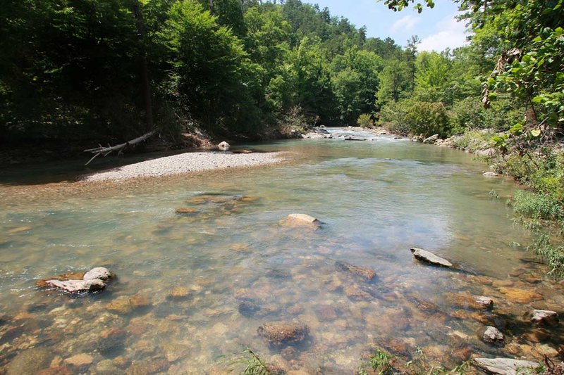
The Albert Pike Recreation Area, which is operated by the U.S. Forest Service, sits on the Little Missouri River, cradled by the steep and rugged Ouachitas, some of which rise to peaks up to 2,000 feet.
The Little Missouri River channel is narrow, as are the streams feeding into it, and there’s little flood plain to accommodate all that excess water, Holmes explained.
On June 11, runoff from the storm fed mountain streams, which then surged into the engorged Little Missouri, Holmes said.
Long Creek poured into the Little Missouri just upstream from Albert Pike. Three people camping on the banks of Long Creek died.
Brier Creek fueled the river right at the Loop D campground, turning that area into a roiling cauldron.
Floodwaters ripped up asphalt and sent RVs hurtling downriver. Panicked campers struggled to keep their heads above water as the river carried them away.
Some were able to grab onto trees and hold tight.
Seventeen from Loop D perished.
FUTURE OF ALBERT PIKE
The Albert Pike Recreation Area remains closed.
Last spring, the U.S. Forest Service announced that officials were about to begin a “planning and public involvement effort focused on future recreation uses and facilities at the Albert Pike Recreation Area.”
At that time, forest supervisor Norman Wagoner said, “In light of last June’s tragedy, we must review alternatives for future public uses and facilities. ... We will offer a variety of opportunities for interested citizens to be engaged in the process.”
It’s unknown whether such discourse ever took place.
U.S. Forest Service spokesman Tracy Farley didn’t return a call Wednesday seeking comment.
Aside from the 2010 and 1968 floods, the Albert Pike area also saw high water in March of 1945, when the water level peaked at 19.84 feet, the report states.
That’s 1.16 feet less than a peak flood stage noted in April of 1927.
In comparing the 1968 and 2010 floods, hydrologists also relied on interviews with Janice McRae, whose family has owned land adjacent to the Albert Pike Area for five generations.
McRae still has a cabin on the banks of Little Missouri.
When her father built it, he made sure the floor elevation was 1 foot above the 1968 flood peak stage.
The report states: “The June 11, 2010, flood left high water marks approximately 0.5 feet higher than the cabin floor elevation.”
Arkansas, Pages 9 on 11/03/2011