Arkansans have a better chance of seeing a thunderstorm than they do a snowflake on Christmas Day, according to forecasters.
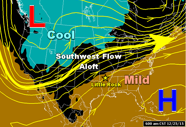
Julie Lesko, a meteorologist with the National Weather Service in Little Rock, said unseasonably warm temperatures and the possibility of rain will blanket the state this week. There is a slight chance for severe storms Tuesday in parts of southwest and western Arkansas.
The warming trend will continue through Friday with temperatures nearing record highs, she said.
Temperatures on Christmas Day will hover in the mid-to-upper 60s. The record for warmest Dec. 25 in Little Rock was set in 1942 with a high of 73 degrees, Lesko said.
There’s also a 50 percent chance of rain and thunderstorms Friday, she said.
“A cold front will come in and push the rain out on Tuesday … and then it’ll come back as a warm front” on Wednesday, Lesko said, making it the warmest day this week with a forecast high of 72.
The chance of precipitation will return Thursday. There is a 30 percent chance of rain and thunderstorms on Christmas Eve.
Lesko said temperatures across the state are about 20 to 25 degrees above average for this time of year.
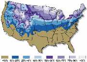
The last snowfall on Dec. 25 was in 2012, when a storm dropped about a foot of snow in portions of Arkansas, causing business closures, treacherous travel and power outages statewide, the Arkansas Democrat-Gazette previously reported.