Arkansas highway officials have closed more than two dozen sections of state highways, including three crossings over the Arkansas River as a result of what authorities are saying are historically high levels in the rain-swollen river.
The crossings that have been closed include the U.S. 64/Garrison Avenue bridge between Fort Smith and Oklahoma, the Arkansas 23 bridge at Ozark and the Arkansas 60 bridge at Toad Suck Lock and Dam that borders Perry and Faulkner counties.
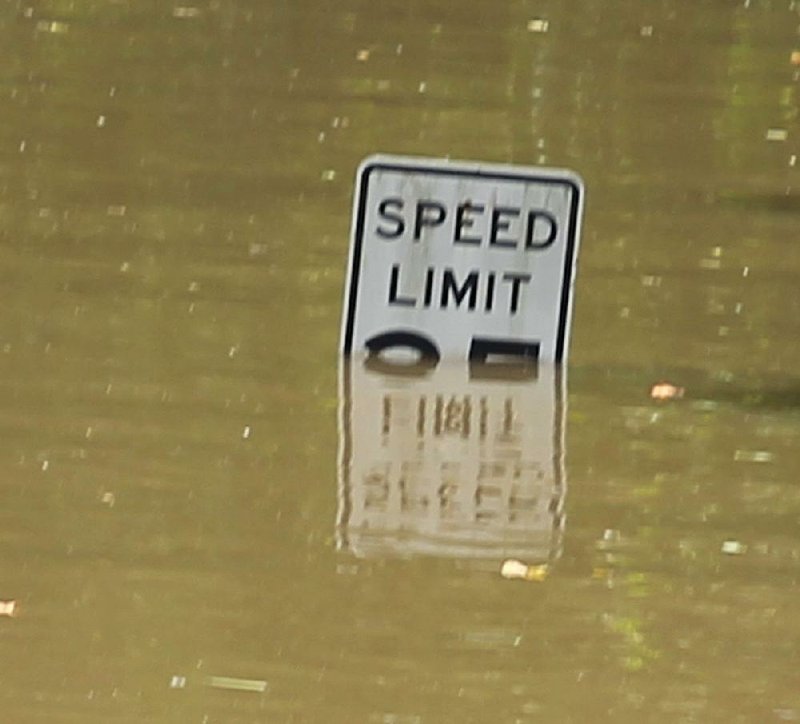
The latter crossing was closed late Tuesday after high water covered Arkansas 60 just west of the river, making it impassable. The bridge carries about 6,000 vehicles per day.
[RELATED: Governor asks Trump for help for flooded state]
The nearest available crossing is Arkansas 9 at Morrilton, which the department also is monitoring U.S. Army Corps of Engineers' river data to determine whether it might have to be closed, said Danny Straessle, the agency spokesman.
"We are getting good information from the Corps, but it evolves," he said. "We're watching everything."
Nearly a third of the state highway sections that have been closed because of high water are in Sebastian County.
[RELATED: Little Rock area steels for high water's arrival]
The seven closed sections total nearly 30 miles, according to agency data. They include three sections of Arkansas 255 totaling 10.2 miles and a 11.2-mile section of Arkansas 96. Four sections of state highway are closed in Perry County.
The department expects more highways to be closed in the coming days, according to a news release.
Still, the closings need to climb far higher to reach the total from the 2011 flooding that closed sections of 82 highways, including the westbound section of Interstate 40 for a week. The total doubled from 41 between May 1 and May 3, Straessle said.
Agency officials are struggling to deal with the latest flood event because it has been accompanied by little or no rain in Arkansas. Employees around the state are familiar with the highway sections prone to flooding because of heavy localized rainfall, Straessle said.
"Our folks know the highways, they know what streams rise when it rains," he said. "This is something different. We are seeing water in places we typically do not see water."
[WATCH: New drone videos added]
Meanwhile, a call center the department established to assist drivers in navigating flooded highways around the state that opened at 3 p.m. Tuesday is receiving an average of 75 calls per hour, as well as 10 to 15 texts per hour, Straessle said.
The Traveler Information Call Center is available by voice or text at (501) 569-2374 from 7 a.m. to 7 p.m. daily until the high water recedes. It is staffed by agency personnel volunteering four hours at a time to limit the impact on their daily duties, according to a news release.
The same information also is available online at IdriveArkansas.com, a department website that provides the latest travel information and road conditions statewide.
The department also postponed a public meeting scheduled for today in Fort Smith to discuss plans to widen Arkansas 45 between U.S. 71 and Arkansas 255 "due to flooding in the area," according to a news release.
Metro on 05/30/2019