
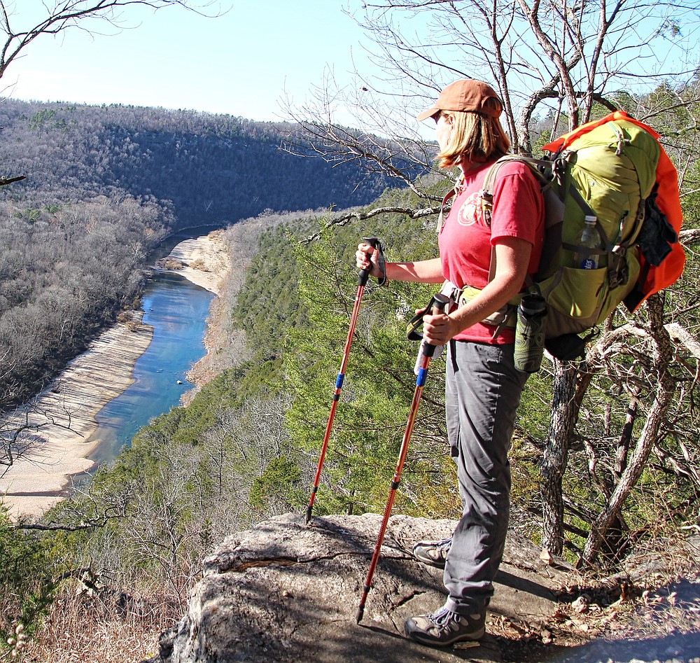
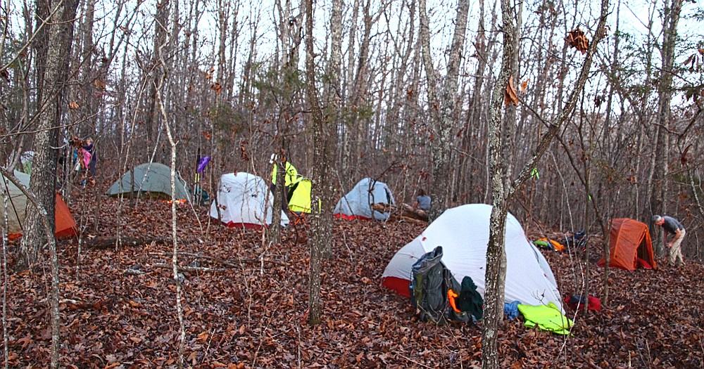
The Trans-Ozark Trail offers endless opportunities for extended hikes to explore the great outdoors. For adventurous hikers who don't mind a little bushwhacking and road-walking, the "TOT" will make a memorable long-distance thru-hike.
The TOT is more than 700 miles long, stretching from Lake Fort Smith State Park in Arkansas to St. Louis.
While it may not match the allure of long-distance hikes like the Appalachian or Pacific Crest trails, each over 2,000 miles, the TOT is the longest continuous hiking trail in the Midwest. Weaving a path through the Ozark National Forest, Buffalo National River, Mark Twain National Forest and many other scenic areas, this unique experience attracts hikers from across the country.
The TOT is a tale of two trails, with its origin dating to the 1970s.
In Missouri, the story began when a group of public land managers, landowners and trail users began talking about building a long-distance hiking trail across the "Show-Me" state. In the early 1980s, the Ozark Trail Council began work on that Ozark Trail (OT). In 2002, James Roth founded the Ozark Trail Association (OTA) to help construct and maintain it.
Along this same timeline, Arkansas' U.S. Forest Service mapped a route across "The Natural State" for the Ozark Highlands Trail (OHT). In the early 1980s, funding for the Arkansas trail was eliminated. With only 40 miles of trail completed, Tim Ernst founded the Ozark Highlands Trail Association (OHTA) to continue the cause. Ernst and his volunteers constructed another 120-plus miles of trail that completed the original Ozark Highlands Trail.
As the separate trails developed, the two trail associations began discussing connecting them to create an extended long-distance hiking trail. The Trans-Ozark Trail was born.
Over the years, progress on the TOT has ebbed and flowed. Fortunately, as the leadership roles filled at first by people like Tim Ernst and James Roth became vacant, others stepped up to take the reins, keeping the TOT dream moving forward.
"There still remain several gaps in the overall TOT," Kathie Brennan, president of the Ozark Trail Association, reminds hikers.
Such gaps continue to shrink and in some cases have even disappeared. So much so that organizers have discussed a "golden spike" date, when the major players involved with the creation of the trail would gather at the Arkansas and Missouri state line for an official opening of the Trans-Ozark Trail.
For many backpackers, a Trans-Ozark Trail Thru-Hike Adventure awaits you now. Just ask Joe Beussink of Oakland in Marion County, who has already hiked the entire TOT. Read comments from him and other thru-hikers at arkansasonline.com/110hikers.
THE HIKE
A TOT section-hike or thru-hike could follow a north-to-south or south-to-north route. For reasons I'll explain later, the following trail advice will begin at the southern terminus.
For planning your TOT adventure, I recommend visiting the Ozark Highlands Trail Association website (ozarkhighlandstrail.com/store-2) to order all three maps for the Ozark Highlands Trail ($18 each). While you're there, also order the $12 "Hiker's Guide: Ozark Highlands Trail Route Lower Buffalo Wilderness," which describes a 16-mile bushwhack through the Lower Buffalo Wilderness section. (I told you this would be "adventurous.")
Those seeking a detailed description of the Ozark Highlands Trail can buy a copy of "Ozark Highlands Trail Guide" by Tim Ernst ($19.95, timernst.com).
As the ancient Chinese philosopher Lao Tzu wisely stated, even the journey of a thousand miles begins with a single step. So, with maps and guidebook stashed in your backpack, exit the Lake Fort Smith State Park visitor center on the first step of your Trans-Ozark Adventure.
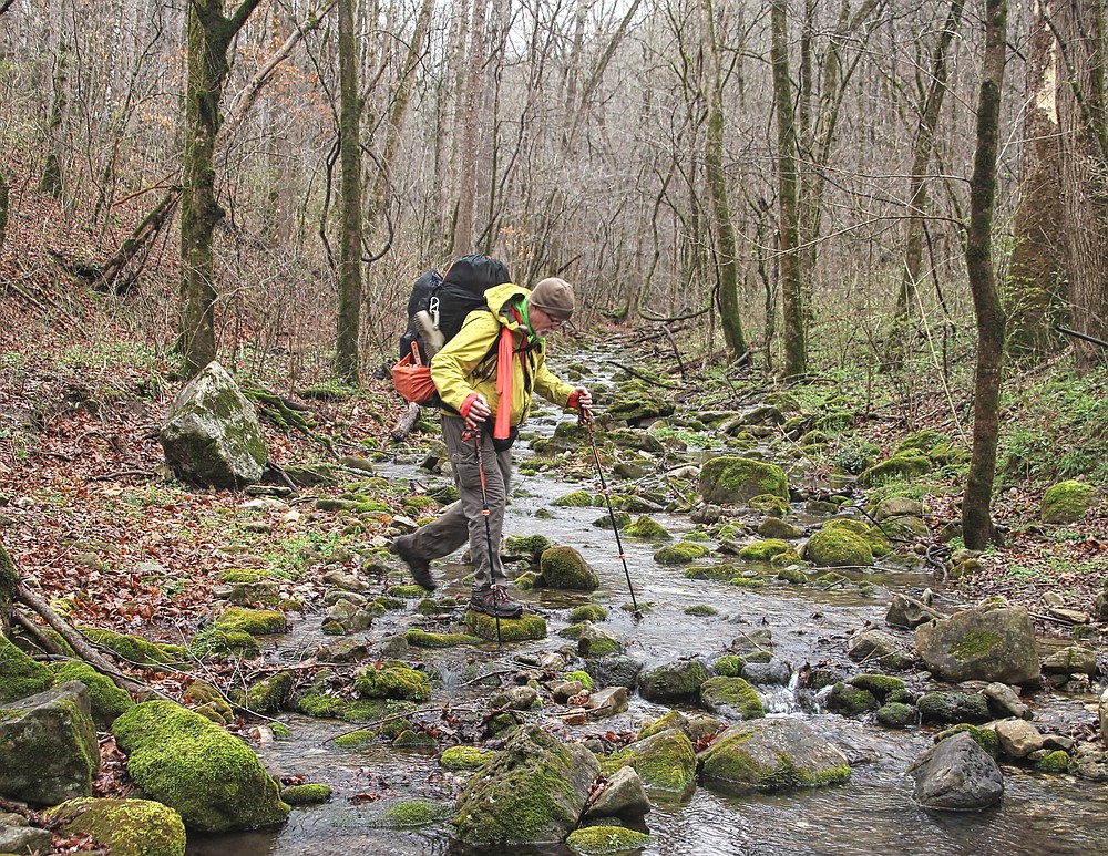
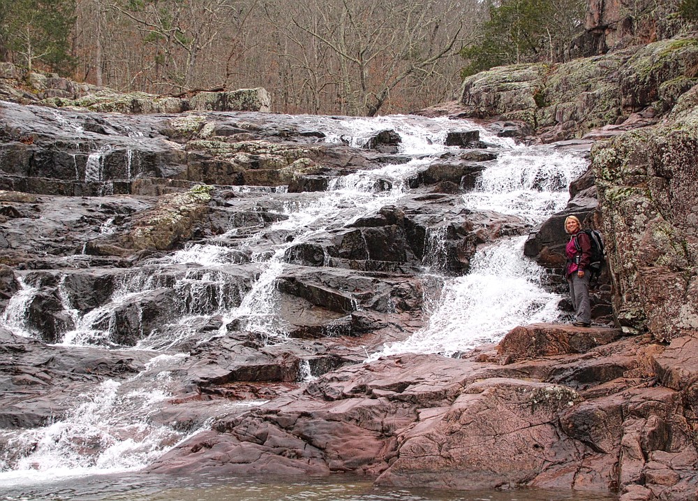
As Ernst's guidebook explains, the Ozark Highlands Trail passes many waterfalls, wide deep hollows and beautiful bluff views for hikers to enjoy on their 164-mile trek to the former eastern end of the trail at Woolum. I say former because, at this point, the TOT crosses Richland Creek to follow the Buffalo River Trail.
A description of the Buffalo River Trail is included in Ernst's newest edition of his guide, available in early 2022. This 43-mile path is filled with bluff views into the drainage of America's first National River.
Simplifying references to the TOT, the Buffalo River Trail and several other Arkansas trails taken to reach the Missouri state line now fall under the Ozark Highlands Trail umbrella.
THE BUSHWHACK
The hike to reach the Buffalo River Trail has been a walk in the woods. With trails well marked and maintained by Ozark Highlands Trail Association volunteers, all hikers have had to do is put one foot in front of the other.
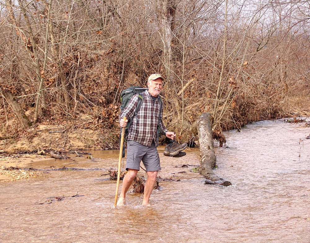
After crossing Arkansas 14 at Dillards Ferry, hikers will need to follow "bushwhack" directions from the guidebook mentioned above or pull out a topo map and compass to plot their own route across the Lower Buffalo Wilderness to the Spring Creek Trailhead. If you chart your own course for this 16-mile trek, be sure to design a route that passes the unique natural features of Devil's Tea Table and Tilting Rock.
[Photo gallery not showing up? Click here » arkansasonline.com/110trail/]
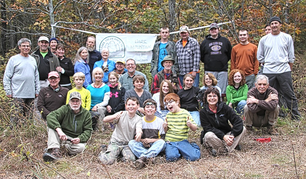
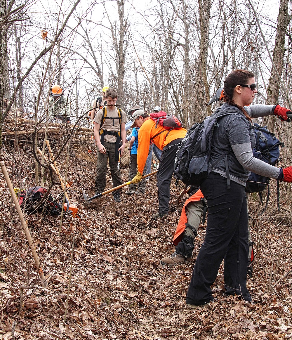
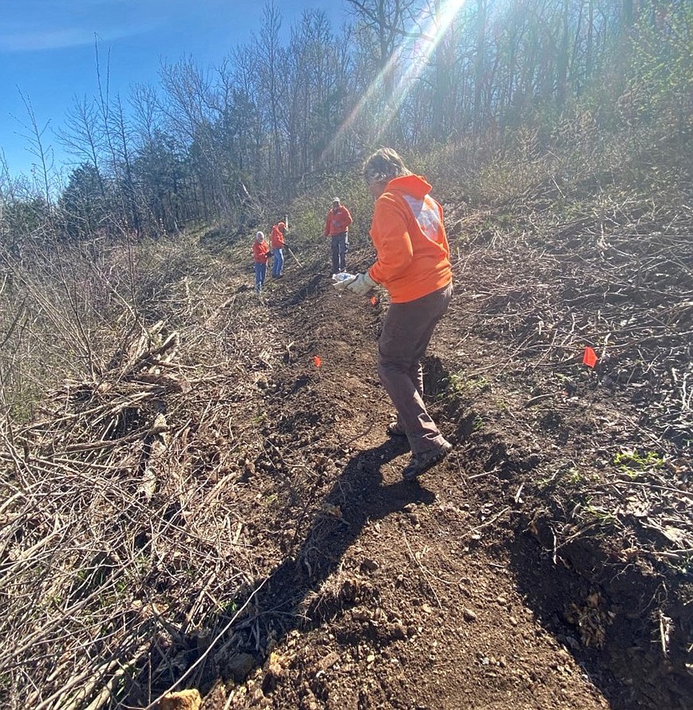
Once hikers reach the trailhead, they will follow a well-marked and maintained trail on the Sylamore Section of the Ozark Highlands Trail. This 32-mile stretch of trail is another example of volunteers taking the initiative to add to the TOT. Duane and Judy Woltjen of Fayetteville flagged the trail's route and then led work trips to make this important link a reality. I remember my wife and I leaving Fort Smith after work on Fridays, over an entire winter, to make the four-hour drive to join those outings. It was a very rewarding trail-building experience.
The Sylamore Section delivers hikers to the current easternmost end of the Ozark Highlands Trail, at Matney Knob.
At this point, the TOT becomes more "diverse" until reaching the trailhead of the North Fork Section in Missouri. You find yourself following a mix of "road-walks," a river ferry crossing, trails under construction and flagged proposed trails. It's best just to accept this as part of the adventure and march onward.
To cross these gaps, hikers can use maps to create their own road-walk, connecting listed destinations, or take the following suggestions recommended by the Ozark Highlands Trail Association:
Just before reaching the Matney Knob Trailhead, use a flagged route across Arkansas 341. Then, follow a former logging road for about 50 feet to reach a flagged route to the right — this half-mile route on Forest Service land cuts across to Baxter County Road 105. The pavement soon ends, and hikers continue on an abandoned gravel road that leads to a historic ferry landing on the White River.
At this point, your pre-arranged ferry from Norfork Adventure Supply — booked before you set out, by calling (870) 726-4845 — will provide an enjoyable shuttle across the river to Norfork.
One plus of road-walks is they often route hikers to badly needed services. Norfork has everything a hiker needs to replenish supplies and enjoy a meal of something other than dehydrated dinners. There is also a brewery to quench a thirst that filtered water just can't satisfy.
Leaving Norfork, follow the Norfork River Road to Arkansas 177, which will take you to Norfork Dam. The Norfork Lake Trail is just across the dam at the entrance to the Quarry Marina.
Pull out Ozark Highlands Trail map No. 3 to assist you on the next stretch of the TOT. The small inset provides an overall view of the trails that are being constructed to reach the Arkansas-Missouri state line. These trails are collectively referred to as the Ozark Keystone Trail, meaning this is the central point for connecting the Ozark Highlands Trail and the Ozark Trail.
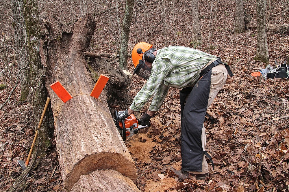
James Hodges, the Ozark Highlands Trail Association's trail completion representative, has been a driving force behind the initiative to close the remaining 76-mile gap to the state line. Hodges helps flag and build these trails. He also has a talent for cutting through agency red tape, working with private landowners and acquiring grants to achieve monumental progress. He spearheaded an archaeological survey and other National Environmental Policy Act review items that are required to obtain U.S. Army Corps of Engineers approvals to construct the trail through the Lake Norfork Segments.
All that remains for extending the Ozark Highlands Trail to the state line is to build the trail.
This stretch of TOT through the Lake Norfork Segments is a moving target for hikers. The sections range from finished trails, flagged routes and bushwhacks to road-walks. The private Facebook group Ozark Highlands Trail OHT is a helpful source for obtaining information on trail status.
THE OZARK TRAIL
The Ozark Trail comprises separate trails that form the "backbone" of the network. These trails are the Curtois, Trace Creek, Middle Fork, Karkahgne, Blair Creek, Current River, Between the Rivers, Eleven Point and North Fork.
There are no printed maps of the Ozark Trail; however, hikers can visit the website ozarktrail.com/maps to view an interactive map of the network. This is very helpful for spotting road-walk routes in the gaps when planning your hike. The Ozark Trail also has a Facebook group for hikers to post questions related to current trail conditions and trail construction progress: Ozark Trail Section Hikers and Backpackers.
In Missouri, a trail has been approved to continue following the North Fork River corridor to Dawt Mill. However, this trail is still under construction. For now, hikers will have about a 30-mile road-walk to reach the southern terminus of the North Fork Section.
At Collins Ridge Trailhead, hikers will again tread on completed, maintained trails. This section passes near two homestead sites and a popular scenic overlook known as Lover's Leap.
Exiting the North Fork Section, thru-hikers begin a final stretch of road-walk. This 36-mile walk links up with the Eleven Point Section. There, hikers enter a 230-mile stretch of continuous trails to reach the current northern "land" terminus of the TOT at Onondaga Outdoors Resort in Leasburg, Mo.
These trails follow many clear flowing waterways and route hikers onto mountainsides that offer expansive views across densely forested woodlands. This is rugged terrain and a truly natural outdoor experience.
There are discussions about continuing the trail along the banks of the Meramec River, eventually. For now hikers who want to reach St. Louis need to follow a "blue-trail," that is, a 100-mile float on the Meramec.
This was one reason for selecting the south-to-north direction. After hiking more than 700 miles, the idea of sitting in a canoe could be a welcome ending to your "Trans-Ozark Trail Adventure."
Note: To support the efforts, financially or as a volunteer, visit ozarktrail.com for the Missouri trails or ozarkhighlandstrail.com for the Arkansas trails.
Bob Robinson is the author of "Bicycling Guide to the Mississippi River Trail," "Bicycling Guide to Route 66" and "Bicycling Guide to the Lake Michigan Trail."
Gallery: Along the Trans-Ozark Trail