This story is a part of The Article, your guide to Arkansas news and culture, presented by the Democrat-Gazette. Sign up for The Article's weekly newsletter here or to see stories that have appeared in past newsletters, go here.
Gov. Asa Hutchinson on Wednesday paved the way for a new congressional district map to become law when he declined either to sign or veto the legislation following its passage by the General Assembly.
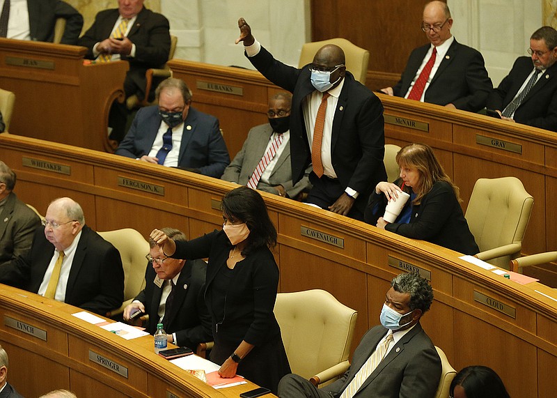
The controversial map trisects Pulaski County, removing 21,000 Black residents from the 2nd District.
Back up: How will the map become law if Hutchinson didn’t sign the legislation?
After legislation is passed the General Assembly, it heads to the governor. He can sign it into law, veto it or take no action.
After five days of no action, the legislation becomes law, even without a signature.
What does the new congressional map look like?
Under the map created in 2010 and in use until now, all of Pulaski County plus some surrounding counties were part of the 2nd Congressional District. Now, Pulaski County is divided among three districts. (Go here to see an interactive map — select SB743).
The bulk of Little Rock and North Little Rock are still in the 2nd Congressional District.
A portion of Little Rock south of Interstate 30 as well as communities south of the city, go to the 4th Congressional District, which mostly covers southwest Arkansas.
A southeast section of North Little Rock and Pulaski County goes to the 1st Congressional District, which covers the eastern part of the state.
Sebastian County is also split. Fort Smith is in the 3rd Congressional District with Northwest Arkansas while nearly 10,000 people in southern Sebastian County are in the 4th District.
How have legislators and other leaders responded?
The map was sponsored by Sen. Jane English, R-North Little Rock, and Rep. Nelda Speaks, R-Mountain Home. They and others have said the bills were not created with race in mind, and English said splitting Pulaski County made sense to balance the populations of the districts.
However, Democrats and others have objected, saying the way the bill splits Pulaski County disenfranchises communities of color.
North Little Rock Mayor Terry Hartwick, Pulaski County Judge Barry Hyde and Little Rock Mayor Frank Scott Jr. all spoke out against the map, with Scott going as far as calling the plan “gerrymandering along racial lines” that was “designed to dilute the voices of the residents of Little Rock.”
Senate Democratic leader Keith Ingram of West Memphis said he thought splitting Pulaski County was "obviously politically motivated” and referenced the possibility of a lawsuit.
Hutchinson said he was concerned about splitting Pulaski County, but in deference to the General Assembly’s authority, he would allow the bill to become law. He said that leaves the courts to settle the issue, should a lawsuit be filed.
Read more from reporter Rachel Herzog about the redistricting law, as well as about Hutchinson’s decision announced Wednesday to also neither sign nor veto the bills exempting workers from vaccine mandates.