Residents of 11 mountainous counties in Arkansas will receive weather advisories, watches and warnings based on elevation from the National Weather Service starting in March.
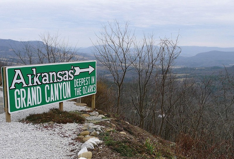
The weather service's Little Rock office supervises 47 counties, and 36 will continue to be zoned by county boundaries. The remaining counties -- Boone, Johnson, Logan, Montgomery, Newton, Polk, Pope, Scott, Searcy, Van Buren and Yell -- will each be split into multiple zones throughout the Ozark and Ouachita mountains.
The rezoning will take effect March 22, and produce more targeted and accurate weather forecasts and alerts, according to the National Weather Service.
"Having to warn the whole county for [severe weather in] essentially areas above 1,000 feet, it's really not as accurate as it should be, so this will give us more flexibility," said Brian Smith, a senior forecaster at the National Weather Service and the rezoning project lead.
Montgomery, Polk and Searcy counties will each be divided into three zones, and the other eight counties will each be divided into two zones. None of the new zones will cross county lines, according to the rezoning map released by the weather service.
Forecasters worked on the zoning changes for months and recently notified the emergency management offices in the affected counties, said Dennis Cavanaugh, a warning coordination meteorologist at the weather service's Little Rock office.
Several emergency management directors and county judges praised the decision to rezone based on elevation.
Pope County emergency management director Justin Drittler called the rezoning "a worthwhile deal." He remembered an ice storm several years ago that damaged power lines and utilities in the mountainous northern part of the county but had no impact on the southern part.
"We start in the [Arkansas] River Valley down in the Russellville area, and by the time you get halfway up through our county, you have a pretty substantial elevation change," Drittler said.
Van Buren County has a "snow line" about 3 miles north of Clinton, its largest city, County Judge Dale James said.
The imaginary boundary marks a sharp change in elevation, since the northern half of the county is part of the Ozark mountain range, he said.
"Sometimes we get 3 inches of snow in the northern part of the county and absolutely nothing in the southern part," James said.
Boone County has the same elevation difference in its southwest corner, emergency management director Daniel Bowlen said. He noted that some areas deal with flash floods, which do not affect higher elevations.
Other states with large differences in terrain have multiple forecast zones per county, such as Colorado and Nevada in the Rocky Mountain region and the mountainous islands of Hawaii, Cavanaugh said.
Not all county officials thought new forecast zones would benefit their areas.
Scott County's County Judge James Forbes said he did not see a need for elevation-based forecast zones. He would prefer that the National Weather Service stick with blanket countywide forecasts and alerts.
"I want to warn all my folks, regardless of what region of the county it is, because I have people who drive from southern Scott County to Fort Smith to work and to shop," Forbes said.
Yell County has a contract with CodeRED, an emergency alert system that distributes regionally specific weather warnings and advisories as well as notifications about other risks such as road closures and Amber alerts, County Judge Mark Thone said.
"It's worked real well on boil water orders, say if a waterline got ruptured, or if schools had to close at 1 p.m., not 3 p.m., so it's a good service," Thone said.
Cavanaugh said the rezoning will benefit more than just individual counties. The weather service works with the Arkansas Division of Emergency Management to deploy resources in areas affected by severe weather, such as sending out Arkansas National Guard vehicles to rescue people whose cars have slid off icy roads, he said.
Division spokeswoman LaTresha Woodruff said in an email that the agency was evaluating the new zones to see if it needed to make any changes of its own.
Additionally, the Arkansas Department of Transportation can be more prepared to treat icy roads in certain zones or save its resources in areas not affected by severe weather, Cavanaugh said.
"We do rely on the National Weather Service for our decision-making -- this weekend is a great example -- so I think it's a smart move," Transportation Department spokesman Dave Parker said.
Cavanaugh said last week that the new zones would come in handy if they were in effect during the snowy weather throughout Arkansas on Saturday.
"We wish we could test them out for this winter storm, but we're not going to be able to, so we'll still have to issue county-based warnings," he said.