More than a thousand Entergy customers in Pulaski County were still without power after Tuesday's storms as of Wednesday afternoon, according to the electric company’s outage map.
“We saw a combination of wind and lightning damage to our equipment, along with fallen trees knocking lines down,” said Brandi Hinkle, a spokesperson for Entergy. “The storm was stronger than we expected.”
Hinkle said most of the damage was seen in Little Rock, Hot Springs and Malvern. Work to restore power began last night.
“We are hopeful to have the majority of customers’ power returned by this evening," Hinkle said on Wednesday afternoon. “The small number that might have to go another night without power due to severe damage will be notified.”
Some parts of Arkansas on Tuesday received more than 2 inches of rain, hail that was almost 2 inches in diameter, and winds of up to 70 miles per hour, according to meteorologists with the National Weather Service.
Lance Pyle, a meteorologist with the weather service in North Little Rock, said Wednesday that the storms started forming in White County under a stationary front that had settled across Central Arkansas. The storms then moved southwest down Interstate 30 into the Hot Springs area.
The storm brought strong winds and some hail. According to Pyle, there was 1-inch-sized hail in Pulaski County near Ferndale, and nearly 2-inch-sized hail in neighboring Saline County.
He said the storm brought straight-line winds to the area. While there were strong winds, there was no rotation or evidence of a tornado with the storm.
The storm temporarily gave Arkansans some relief from the heat, but heat index values climbed to the triple digits for much of the state on Wednesday, according to a tweet from the National Weather Service.
“The storm got strong because we got so hot,” Pyle said on Wednesday.
Some businesses, including the Target on South University Avenue and the Kroger on North Rodney Parham Road, lost power due to the storm. Hinkle said the Target’s power was restored by 12:30 p.m. Wednesday, and the Kroger’s power came back around 2 p.m. Wednesday.
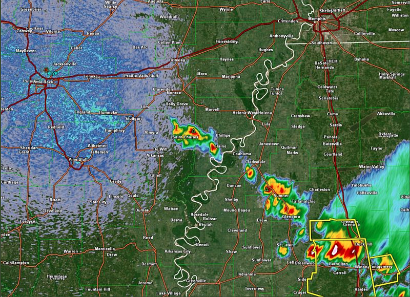
According to a Wednesday tweet from the weather service in North Little Rock, “A line of thunderstorms is developing from north-central Mississippi into eastern Arkansas. Additional thunderstorm development in Arkansas will be possible [Wednesday] afternoon and evening.”
There is also a chance for more rain over much of Arkansas at the end of the weekend.
“A good portion of the state should have a chance of rain Sunday night into Monday,” Pyle said.
The forecaster added that Central Arkansas has up to a 30% chance of seeing more rain on Sunday.