HOT SPRINGS -- Federal and state agencies are jointly conducting tests to ensure development doesn't adversely affect the city's namesake thermal springs.
The newly-opened extension of the King Expressway presented an opportunity to check into the health of the thermal water recharge zone, which feeds the springs on the southwestern slope of Hot Springs Mountain.
The Arkansas Department of Transportation, National Park Service and U.S. Geological Survey are jointly conducting tests on 13 wells throughout the recharge zone to gain knowledge and collect data on the impact of such major projects.
Eight monitoring wells were dug by the organizations to be used with five existing domestic wells for study. The monitoring, which started in 2020, was split up into three phases -- pre-construction, construction and post-construction.
"All the development going on in the recharge zone, but no one's studying the long-term effects," said John Fleming, division head of the environmental division of ArDOT. "There's different effects on each one depending on which rock they're in."
ARB4, a well on the eastern slope of Indian Mountain, has seen the greatest decline since the project began, according to Fleming. Located in a shale formation above the road coat, the well has lost significant volume, almost running dry. This and one other well have led the USGS and NPS to suggest extending the monitoring period.
Currently, ArDOT has agreed to monitor until September of next year with the possibility of continuing through December 2024. The USGS and NPS are discussing extending the study to 10 years focusing on five, possibly new, wells.
"As part of the National Environmental Policy Act (NEPA) re-evaluation process, ArDOT and USGS entered into an agreement to characterize and assess potential changes to the shallow groundwater system and to the recharge area for the hot springs of the NP prior to, during, and following highway bypass construction activities east of Hot Springs," said Fleming in a follow-up email.
"ArDOT and [Federal Highway Administration] FHWA funded the study and USGS is conducting the study. A portion of the highway construction project lies within the recharge area for the hot springs within Hot Springs National Park. The NPS is assessing concerns related to potential anthropogenic impacts to the hot springs of the NP."
Sixty acres along the higher elevations of the 5-mile extension of the King Expressway are protected from development, a conservation measure the state took to safeguard the city's namesake thermal springs.
A 2005 environmental assessment conducted ahead of the initial plan to extend the expressway was shelved after thermal water was found in a private well in the Bratton Drive Area more than 5 miles east of the national park. A USGS study published in 2009 said the well was unrelated to the park's thermal water system.
According to Laura Ruhl-Whittle, hydrogeologic studies section chief with the USGS, all the data from the study will be published along with a report interpreting the data.
"The water quality data, we collect, and our National Water Quality Lab will analyze those samples and then those results will be publicly available on our National Water Information System, or NWIS," she said.
She said the process takes some time, going through several checks for quality assurance before the data is published to various sites and databases.
The USGS provides data to NPS and ArDOT, meeting with them periodically about their findings. This allows the agencies to make informed decisions around the project for the health of the water and aquifer.
"Right now, our impact to the recharge zone is fairly minimal," Fleming said.
He says two wells of the 13 showed notable decline, both on the eastern edge of the zone.
A USGS groundwater level map is available at https://pubs.usgs.gov/publication/sim3444. NWIS data on groundwater levels, water quality and surface water flow will be available at https://waterdata.usgs.gov/nwis.
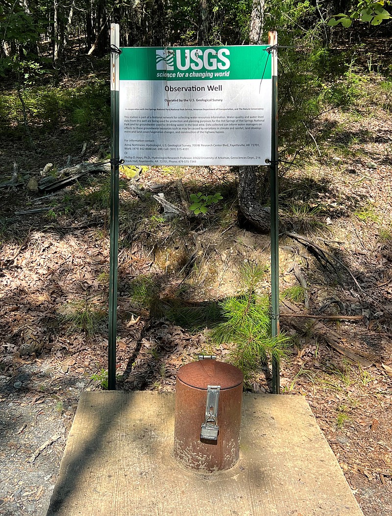
 Another U.S. Geological Survey observation well has been monitored since before construction began on the expressway extension. - Submitted photo
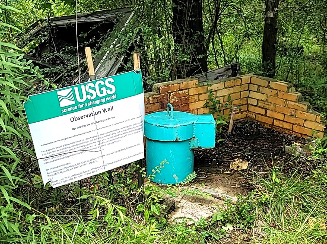