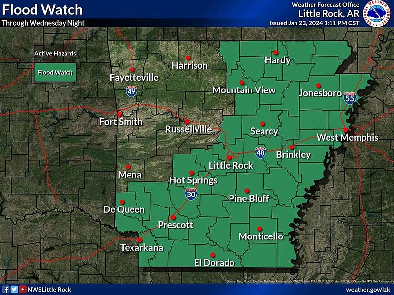
Much of Arkansas is under a flood watch until Wednesday evening, the National Weather Service said.
The flood watch covers most of southern Arkansas and the eastern half of the state, including Little Rock, Hot Springs and Mountain View, the weather service said.
"Flooding caused by excessive rainfall continues to be possible," the weather service said in the flood watch. "An active weather pattern will lead to several rounds of heavy rainfall through at least Wednesday evening."
A Tuesday weather briefing said heavy rain is possible through Saturday, and three to six inches of total accumulation possible over "roughly the southeastern half" of the state.
And additional three to five inches of rain is expected, with higher amounts possible, the weather service said.
Excessive runoff could result in the flooding of bodies of water like rivers, creeks, streams and other "low-lying and flood-prone locations," the watch said.
Flash flooding is possible over southern Arkansas where the heavier rain is set to fall, the briefing said.
Arkansans "should monitor later forecasts and be alert for possible Flood Warnings. Those living in areas prone to flooding should be prepared to take action should flooding develop," the watch said.