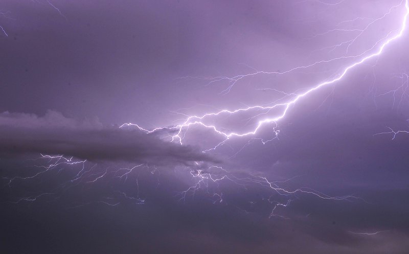
Storm damage has been reported in Logan County east of Subiaco and south of Prairie View, according to the National Weather Service.
It is possible the damage was caused by a tornado and the extent of the damage is not yet known, meteorologists said.
A "debris signature" was detected by radar shortly before 8 p.m., said Eric Green, a forecaster with the National Weather Service in North Little Rock.
Five active tornado warnings have been issued tonight in the region of Logan, Johnson and Scott counties, according to the Weather Service.
The worst of the storm is still forthcoming. The storm pattern is moving eastward from Oklahoma and is expected to hover over Arkansas during the early morning hours Saturday.
Most of the state is expected to endure strong winds and heavy rainfall overnight. A tornado watch has been issued for Little Rock and other parts of Central Arkansas until 2 a.m. Saturday. A flash flood warning is in effect until 6 a.m.
This is a developing story. Check back for updates.
