MARIANNA — The discovery of prehistoric earthquakes in Lee County has geologists studying further to determine if those quakes were larger and more volatile than the series that shook the New Madrid fault system about 70 miles to the north in 1811-12.
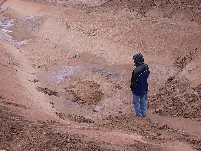
Scientists dug a trench 10-feet deep in a barren soybean field southwest of Marianna earlier this month to examine geological formations beneath the surface.
More than 30 geologists who attended the Eastern Section of the Seismological Society of America conference in Little Rock peered recently into the trench off Lee County Road 232.
They found evidence that at least two large earthquakes - possibly measuring 7.0 in magnitude or more - happened between 4,800 and 10,000 years ago.
“This is a jaw-dropping example of prehistoric quakes,” said Robert Williams, the coordinator of the U.S. Geological Survey’s Central and Eastern U.S. Earthquake Program in Golden, Colo.
“We were like kids in a candy shop looking at it,” he said.
Scientists had already suspected that the area produced prehistoric quakes.
In 2001, Haydar Al-Shukri, director of the Arkansas Center for Earthquake Education and Technology Transfer at the University of Arkansas at Little Rock, began researching Lee County.
He found several large deposits of sand atop the soil - called “sand blows” - which occur along fault lines in sandy and swampy areas. One such deposit about 6 miles southwest of Marianna was named “Daytona Beach” because the sandy area measured almost 2,000 feet long.
Al-Shukri dug trenches in the areas, but before he could carry out his studies 10 years ago, the state Legislature cut $125,000 from the earthquake center’s budget, forcing him to suspend the work.
Now, U.S. Geological Survey officials are resuming that study.
“I think this shows that it’s not just the New Madrid seismic zone we should be concerned about,” Williams said, referring to a series of faults that cut a jagged path from Marked Tree through the Missouri bootheel and into southern Indiana.
“Over the past 15 years,science has found evidence of other earthquakes outside of that zone,” he said. “This is one of those cases.”
In the winter of 1811 and early months of 1812, the earth shook violently near New Madrid, Mo. Scientists estimate that the quakes were 8.0 in magnitude - the largest temblors ever to strike the continental United States.
The shaking rang church bells in Richmond, Va., and knocked plaster from walls in Columbia, S.C.
Earlier quakes rumbled in the area in 1450 and 900, geologists said.
The system still produces earthquakes, but most are unfelt at 2.5 magnitude or less.
The prehistoric Lee County earthquakes were caused by a separate fault system, Williams said. Scientists have yet to find the actual fault, but they know it cuts through the county somewhere.
The fault has been mostly inactive, but it spawned at least one small earthquake in August 2008. A 2.6-magnitude tremor shook Haynes in northern Lee County. There was no damage reported.
There are several faults that cut through the state in addition to the New Madrid seismic zone. A 10-mile-long fault in Faulkner and Cleburne counties spawned more than1,200 earthquakes over the past year after natural-gas companies began injecting wastewater into nearby wells. Scientists said the injections triggered the fault system to activate.
Another fault system runs though northern Randolph County; others crisscross the state like cracks in an eggshell, Williams said.
“It looks like the last time the fault moved was centuries ago,” Oliver Boyd, a U.S. Geological Survey geologist in Memphis, said of the quakes in Lee County.
“We know there were at least two big ones,” he said.
Geologists figured out the dates of the two large Lee County quakes by studying a cross section of soil beneath the soybean field.
Darker soil indicated liquefaction, which occurs when pressure forms from the earth’s movement and compresses sand, shooting it skyward like a geyser.
Williams said he could see two levels of liquefaction. Geologists found bits of wood at both layers and pinpointed when the quakes occurred using carbon dating.
Landowner John McClendon said he’s not worried about future quakes in thearea but is interested in the geologists’ findings.
“This gives us more of an idea about what took place. Something is down there. Now we know a little bit more.
“These [quakes] happened here hundreds of years ago,” McClendon said. “It makes me realize we are on this earth for only a short time.”
Williams said he will return to McClendon’s land and continue his studies.
“This is a cousin to the New Madrid,” he said. “This is the most amazing one I’ve ever seen. We need to look at it further.”
Arkansas, Pages 17 on 10/23/2011