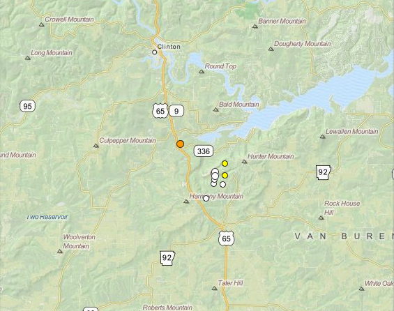
A minor earthquake rumbled near Clinton early Wednesday, marking the 12th tremor to strike the region so far this month.
The latest quake reached a 2.4 magnitude and was centered about 5 miles south-southeast of the Van Buren County city. It happened shortly after 4:45 a.m.
U.S. Geological Survey records show 11 previous earthquakes in roughly the same area so far in May. None of the previous tremors exceeded the 2.0-magnitude mark.
Officials say quakes under 2.5 generally aren't felt and damage usually doesn't become a concern until earthquakes approach or exceed the 4.0 mark.
The Arkansas Geological Survey said earlier this month that it was planning to add equipment to the Clinton area to obtain better data about the latest quakes.
Scott Ausbrooks, geohazards supervisor for the agency, has said the tremors may be occurring naturally, triggered by the changing water levels of Greers Ferry Lake or tied to natural gas injection wells in the area.