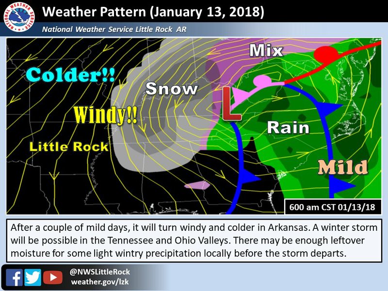
Most of Arkansas could see a wintry mix as much colder air arrives later this week, forecasters said.
Accumulation would be likely light and is not expected to create significant issues, said John Lewis, senior forecaster with the National Weather Service’s North Little Rock office.
“It won’t be a big winter storm, at least not at this time,” he said.
A system entering Arkansas late Wednesday into Thursday will bring gusty winds and potentially hazardous conditions on bodies of water, according to the latest outlook.
Highs Wednesday and Thursday are set to be in the mid-50s to mid-60s statewide. By Friday, a significant temperature drop will leave highs in the mid-30s to low 40s across much of the state, and those temperatures will linger into the weekend.
Widespread rainfall is expected to change over to wintry precipitation — first as a mix before eventually falling as only snow — Thursday night into Friday, Lewis said. Temperatures then are forecast to be in the low 30s.
Less than 1 inch is predicted, with higher amounts possible in the state's east and northeast.
Still, uncertainty remains as to the location, timing and accumulation amounts, Lewis said.
The weather service's Memphis office, which serves portions of eastern Arkansas, said the timing of the colder air will factor into which areas will see snow and how much could fall.
“For the last few days, there has been some model disagreement as to what exactly is going to happen. This morning is no exception,” a Little Rock forecast discussion states.
Temperatures in Arkansas over the weekend and into next week are forecast to be below average for this time of year.